PENNSYLVANIA, USA — El Niño and La Niña are defined as two opposing climate patterns in the Pacific Ocean that can affect the weather across the world.
Typically, trade winds, which blow east to west, push warm surface waters toward Asia. But El Niño and La Niña are phases that break these normal conditions, making the ocean temperatures warmer or colder than average.
Scientists call these patterns the ENSO cycle; it is just one of the many factors that affect weather patterns. And for the third year in a row, we are seeing a La Niña winter.
"We see subsequent impacts across the globe, including here in the United States, which really drives our large-scale wintertime-type weather, and impacts from El Niño and La Niña or more felt in the wintertime versus in the summer," Jonathan Guseman, Warning Coordination Meteorologist, National Weather Service Central PA.
Meteorologists say it is not unheard of but is certainly an abnormality to be in the La Niña phase three winters in a row. They call it a triple dip pattern, and this is only the fifth time it has happened since record-keeping began.
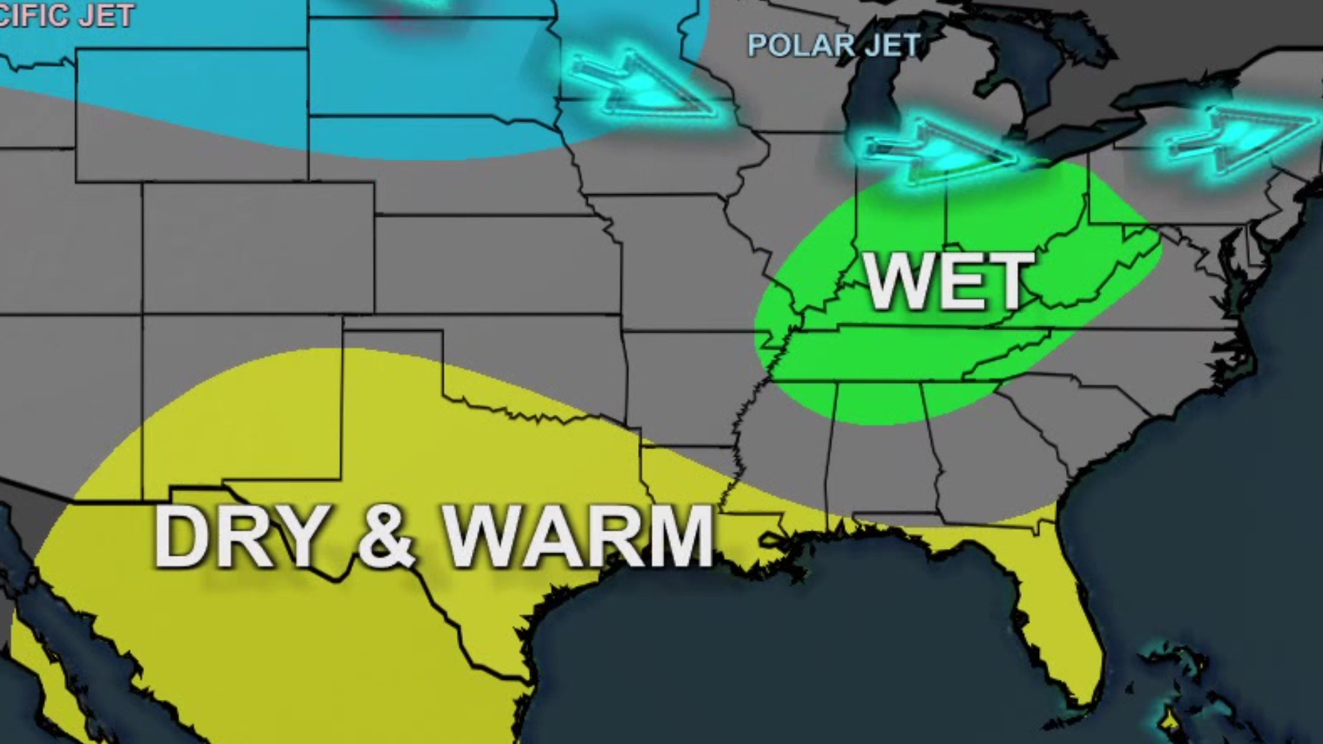
For us here in Pennsylvania, meteorologists with the Climate Prediction Center are forecasting above-normal temperatures for the winter months this year.
"What we've seen throughout the winter and what we're looking at the next several weeks and months (are) strong signals for above-normal temperatures, a tilt in the odds that way," Guseman said.
Every day so far in January has been considered above average, with the average high temperature for northeastern and central Pennsylvania being 36 degrees. But meteorologists stress that very cold snaps like what we had over Christmas can and will happen in a La Niña winter. The Climate Prediction Center is also forecasting above-normal precipitation this winter, but storms in a La Niña phase tend to be unique.
"See a lot of lower-precipitation-amount-type systems, or maybe changing over precipitation types. So mixed, precipitation of rain to snow to ice. We typically don't see a lot of coastal storms that go up toward the east side of Pennsylvania or go up to the mid-Atlantic coast, and those are the ones that produce our big snows here across the Commonwealth," Guseman explained.
Of course, we saw those mixed precipitation storms twice in December. La Niña winters also favor late-season snowfall in March and April. But again, there are other variables that impact winter weather, so it is important to remember that a La Niña phase does not provide an exact forecast, and there is still plenty of winters left to go.
Check out severe weather tips on WNEP’s YouTube channel.

