
MOOSIC, Pa. — Summary:
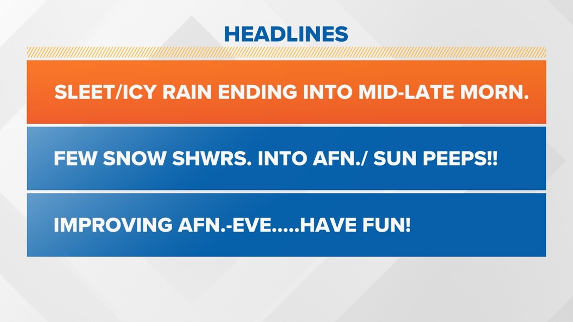
Today: The morning ice/freezing rain is tapering off to a few snow showers. Under one inch total accumulations in most areas. Conditions will improve greatly as skies partially clear and temps rise above freezing to near 40 degrees. Many road surfaces will become wet.
It'll be mainly dry tonight with colder lows in the teens to near 20.
PennDOT has announced vehicle restrictions on certain roadways See the latest updates from PennDOT at 511PA.com.
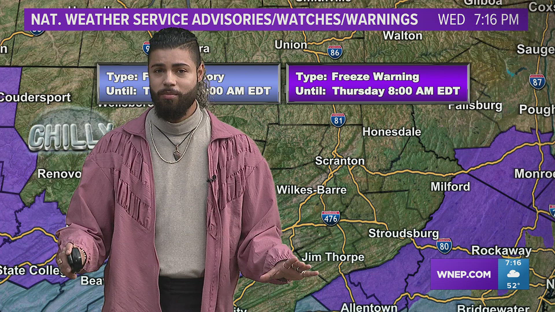
Weather Alerts:

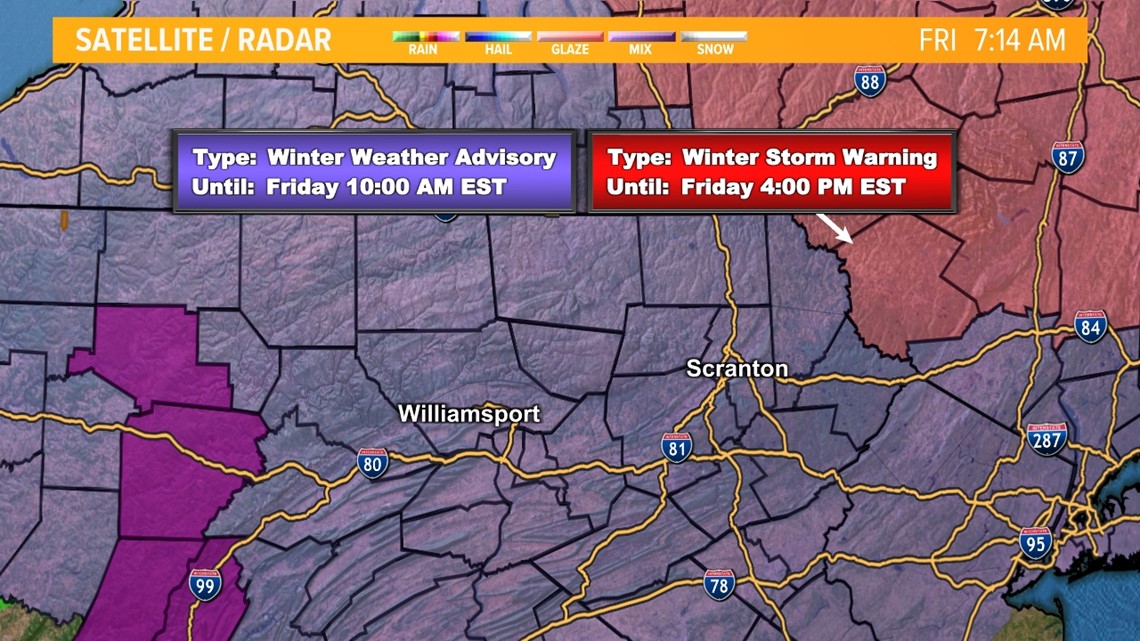
The National Weather Service has issued Winter Weather Advisories for the entire viewing area into Friday afternoon.
After a morning mess of sleet, freezing rain, and icy surfaces, conditions will improve greatly through the afternoon with wet roads and temps to near freezing.
Impacts:

Impacts from this system will be highest Friday morning. This is when we expect both the worst of the travel conditions as well as the highest risk for power outages. Power outages will likely be isolated in nature. Driving conditions will be pretty rough, especially on the mountain roads. Leave lots of extra time to get to where you need to be Friday morning or push your plans to travel until later in the day or Saturday if possible.


WINTER TIPS: Check out severe weather tips on WNEP’s YouTube channel.