
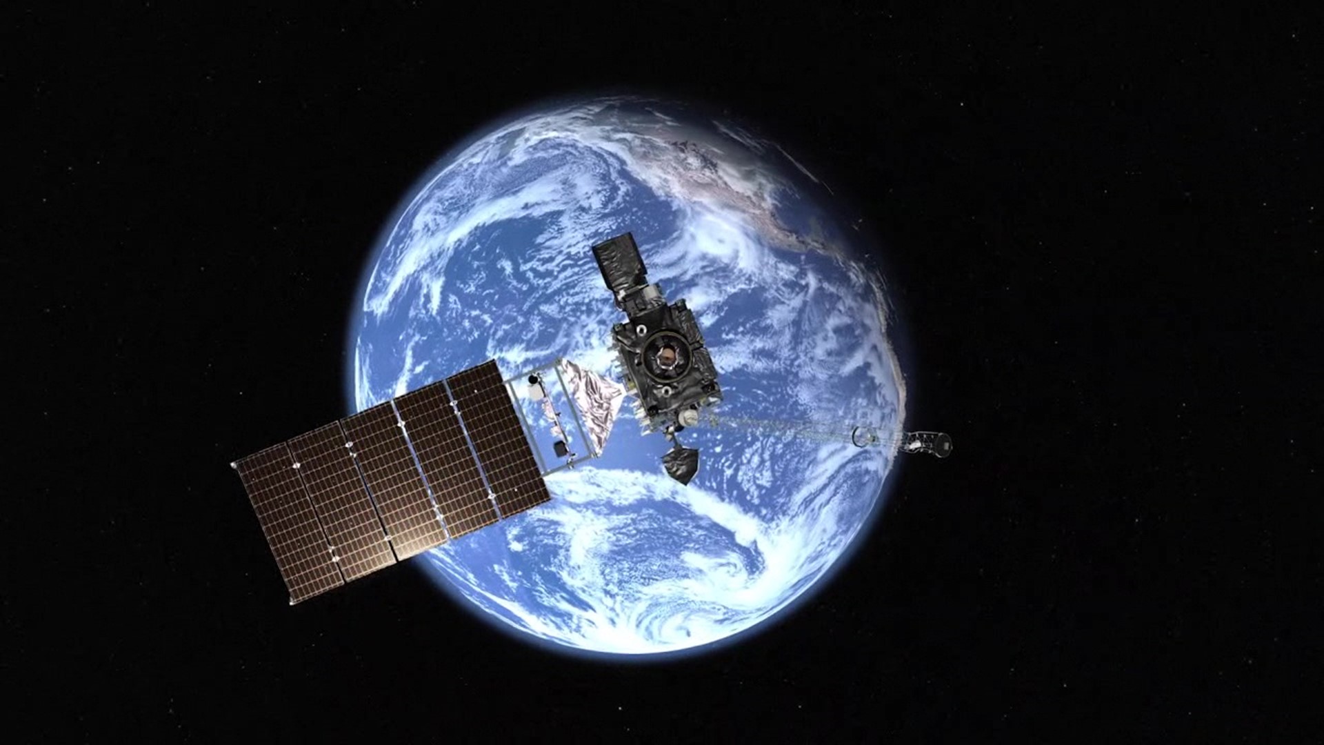
CAPE CANAVERAL, Fla. — GOES-T is the third of four advanced weather satellites in this GOES series operated by NOAA, the National Oceanic, and Atmospheric Administration.
For meteorologists, these satellites provide critical information for forecasts.
"The satellite will be launched into what's called a geostationary orbit, 22,000 miles above the earth to add a new member to our fleet of advanced technology weather satellites in orbit," said Jack Beven, a senior hurricane specialist at the National Hurricane Center.
The satellite's primary instrument is a camera that can scan the Earth five times faster and with four times the resolution of the previous satellites in this series.
"Let's the satellite have very good coverage of the Earth. It can see about 40 percent of the Earth at any given time. When GOES-T reaches its position in the Pacific, it will be able to see from Alaska all the way down to Antarctica and from South America almost all the way over to Australia and give us pictures of that almost every 10 minutes, so that's the importance of having that satellite that high up in what's called this geostationary orbit," Beven explained.
GOES-T, or GOES-18 once it is successfully in orbit, will join GOES-16, launched in 2016, which is positioned over the Atlantic Ocean.
"You put the two satellites together, we're seeing a large area and getting a lot of information, both large scale and small scale," said Beven.
Experts explain that even though GOES-T will not necessarily see Pennsylvania all that well with its position over the Pacific Ocean, it will still provide improvements in forecasting in the northeast.
"Monitor weather systems coming across the Pacific that could influence the path of Atlantic hurricanes determine whether they hit the east coast of the United States or not. A lot of the wintertime nor'easters are ripples of the jet stream over the Pacific five to ten days before they become big storms along the east coast of the U.S.," said Beven.
Additionally, GOES-T will give us a better and earlier idea of when severe weather is likely.
"The data we collect from GOES-T will be fed into the computer models that predict these weather systems and give us a better idea several days in advance when we may have these hazardous weather outbreaks over the United States. And then once we actually get to a point where we're closer to the event, then we actually shift into using other tools in our toolbox to actually watch and warn on them."
It will take GOES-T about ten days to reach its location.
The fourth and final satellite in this series is expected to launch in 2024, and NASA is already planning for its next-generation weather satellites for the 2030s.